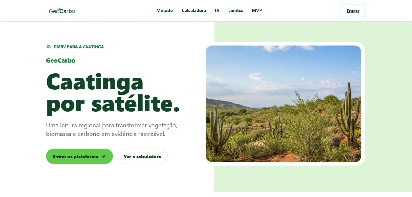
The problem
“The market needs to trust the number before it can trust the credit.”
Measuring carbon in the field is expensive and slow.
In the Caatinga, seasonality, leaf drop and exposed soil throw off generic satellite estimates. GeoCarbo aims for a first reading, automated and transparent, ahead of inventory and certification.
How it works
Sentinel-2 imagery and equations published for the Caatinga estimate the vegetation carbon of each property.
- PropertyRegistering the area
- PolygonKML or GeoJSON
- Sentinel-2Recent scenes, clouds removed
- Vegetation indicesOver the scene composite
- BiomassA regression published for the Caatinga
- Carbon / CO₂eDeclared coefficients
- ReportResult and PDF
Sentinel-2
Open imagery via Copernicus
10 m
Resolution of the main bands used
up to5 scenes
Median temporal composite
Published method.Declared limits.
- Biomass
- Carbon
- CO₂e
A regression published for the Caatinga estimates biomass; declared coefficients convert it into carbon and CO₂e.
The system doesn’t hide it when the data goes beyond the model.
Calibrated range
The model holds for the NDVI range it was calibrated on.
Extrapolation warning
Outside that range, the estimate is flagged.
Above ground only
The calculation covers above-ground biomass only.
No field validation
A preliminary estimate, not yet compared against field measurements.
Technology
Architecture
- User
- Frontend
- FastAPI
- Celery / Redis
- Copernicus
- Processing
- Supabase
- Result / PDF
- Frontend
- ReactViteLeaflet
- Backend
- PythonFastAPI
- Processing
- CeleryRedisrasterionumpy
- Satellite
- Sentinel-2Copernicus
- Data
- SupabasePostgreSQL
- Reports
- ReportLab
- Infrastructure
- VPS LinuxNginx
Working prototype.MVP stage.
The pipeline already
- Takes in the property
- Processes Sentinel-2
- Computes the estimate
- Stores the result
- Generates the PDF
It isn’t yet
- A certification platform
- A product validated by certifiers
- A complete dMRV
- A field-validated system
- A mature commercial solution
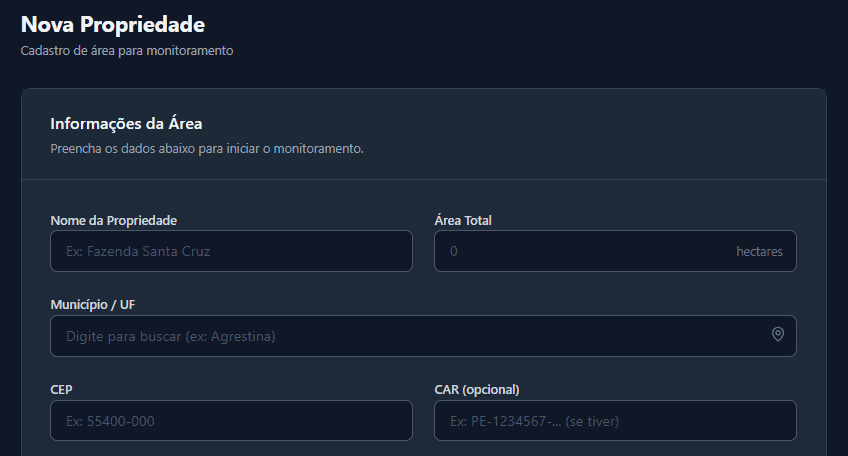
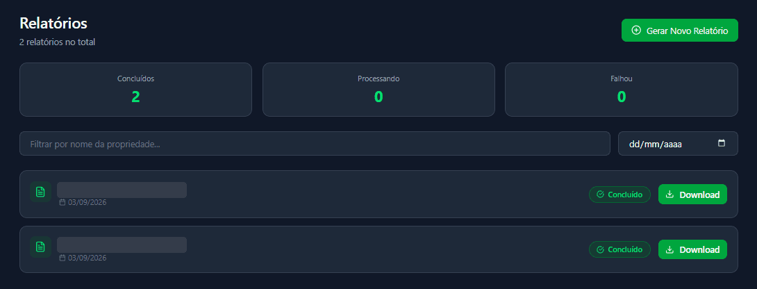
The architecture already has a slot for models trained on field data.
My role
Co-Founder & CPO at SECCO, working directly on the backend and on GeoCarbo’s evolution.
- Backend architecture
- API
- Processing
- Polygon integration
- Satellite pipeline
- Persistence
- Reports
- Deployment
Context: SECCO’s incubation at Porto Digital and its participation in Inova Caatinga.